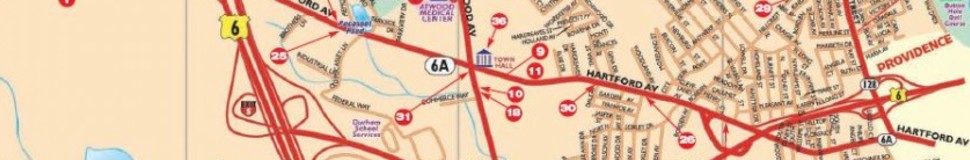


Johnston, RI Street Map
The most accurate Johnston town map available online.


Johnston, Rhode Island, in Providence county, is 4 miles NW of Cranston, Rhode Island (center to center) and 43 miles SW of Boston, Massachusetts.The town is part of the Providence - Fall River - Warwick metropolitan statistical area (MSA). About 28,195 people live in Johnston.
Johnston was initially part of the town of Providence. Later in 1758, it was separated from the town and incorporated on March 6, 1759. It was named after August Johnston, the colonial attorney general. The town's first meeting was held on April 18, 1759, in order to elect the officers. The meeting was held at the house of Benjamin Belknap.
Johnston is home to Clemence Irons House, a stone-ender museum constructed in 1691. The town also has several parks such as the Johnston Memorial Park, Woodlake Park Complex, Dyerville State Park, and Woonasquatucket Park. The Westgate Shopping Center, Town Hall Center Shopping Center, and Lexington Building Shopping Center are some of the local shopping centers. The Recreation Department of Johnston also organizes several special events and programs throughout the year.
Visit town website: http://www.townofjohnstonri.com
