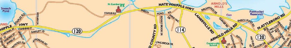


Cumberland, RI Street Map
The most accurate Cumberland town map available online.


Cumberland is the northeastern most town in Providence County, Rhode Island, United States, first settled in 1635 and incorporated in 1746. The population was 33,506 at the 2010 census.[3]
Cumberland was originally settled as part of Rehoboth, Massachusetts, which was purchased from the local Native Americans by the Plymouth Colony. It was later transferred to Rhode Island as part of a long-running boundary dispute. The town was named in honor of Prince William, Duke of Cumberland.[2]
According to the United States Census Bureau, the town has a total area of 28.3 square miles (73.2 km2), of which 26.4 square miles (68.5 km2) is land and 1.8 square miles (4.7 km2), or 6.40%, is water.[6]
Cumberland is the easternmost town along the state's northern border with Massachusetts, making it the state's de facto northeasternmost town. Cumberland borders the Rhode Island cities of Woonsocket and Central Falls, and the town of Lincoln.
Visit town website: http://www.cumberlandri.org
