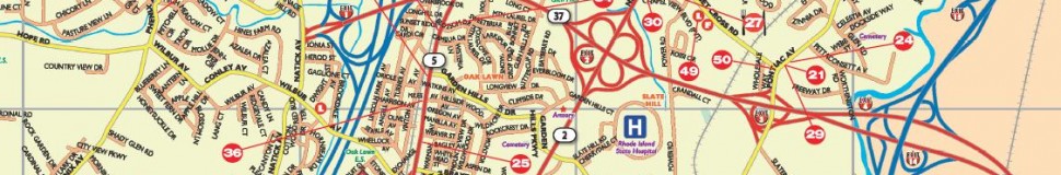


Cranston, RI Street Map
The most accurate Cranston town map available online.


The City of Cranston is part of the large metropolitan area of Providence and is located just south of the Capital City, with 3 1/2 miles of shoreline on the Providence River where it begins to broaden into Narragansett Bay. Cranston is also bounded by the City of Warwick and the Town of West Warwick on the south, and by the Town of Scituate on the west. Cranston has a geographical area of 28.2 square miles.
With a population of approximately 80,000, Cranston is the third largest City in the State of Rhode Island and home to two of our State’s premier shopping and dining centers --- Garden City and Chapel View. Being a vibrant suburban community, Cranston also boasts of rural areas on the western side of the City and a shoreline on beautiful Narragansett Bay to the east.
Visit town website: http://www.cranstonri.com/
