


Glocester, RI Street Map
The most accurate Glocester town map available online.


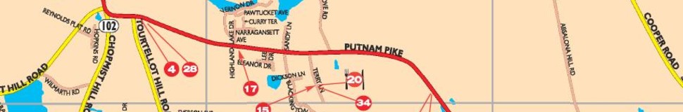
The Town of Glocester is located in northwestern Rhode Island. It is bordered on the north by Burrillville, on the east by Smithfield, on the south by Scituate and Foster, and on the west by Killingly and Putnam, Connecticut. It is connected to these various other communities by Route 44, which runs east-west, and by Route 102, which runs north-south. The state capital, Providence, is approximately 35 minutes to the east.
Glocester is basically a rural community, dotted throughout by lakes and ponds. Several of these bodies of water are part of the Providence Water Supply System. Much of the northern portion of the town is set aside as state-owned parks and forests. The highest point in Glocester, and second highest point in the state of Rhode Island, is Durfee Hill at 804'.
Glocester (originally "Gloucester") was established in 1639, just three years after Roger Williams founded Rhode Island's first settlement at Providence. The land was "disposed of to Roger Williams and his associates by the sachems of local Indian tribes, who received payment that the sachems deemed satisfactory."
Visit town website: http://www.glocesterri.org/index.html
