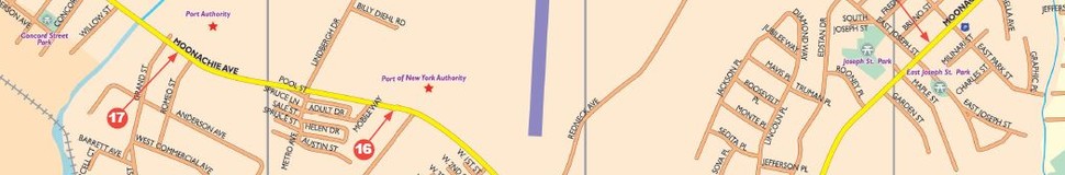


Moonachie, NJ Street Map
The most accurate Moonachie town map available online.

Moonachie (/muːˈnɑːkiː/; moo-nah-kee) is a borough in Bergen County, New Jersey, in the Hackensack Riverwatershed. As of the 2010 United States Census, the borough's population was 2,708,[7][8][9] reflecting a decline of 46 (-1.7%) from the 2,754 counted in the 2000 Census, which had in turn declined by 63 (-2.2%) from the 2,817 counted in the 1990 Census.[18]
Moonachie was incorporated as a borough by an Act of the New Jersey Legislature on April 11, 1910, from portions of Lodi Township, based on the results of a referendum held on May 3, 1910. On March 26, 1917, portions of Moonachie were taken to form Teterboro.[19] Legend is that Moonachie was named after Chief Monaghie, a member of the Iroquois who inhabited the local cedar forests.[20][21]
Visit town website: http://www.moonachie.us/
