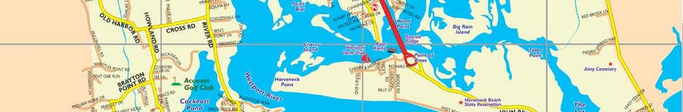


Westport, MA Street Map
The most accurate Westport town map available online.


Westport is a town in Bristol County, Massachusetts, United States. The population was 15,532 at the 2010 census.[1]
The village of North Westport lies in the town. Other named areas of the town are "Westport Point" with the dock on the Westport River where Main Road meets the river, "Central Village" with town offices, retail stores and businesses, "Head of Westport" at the head of the east branch of the river and the area referred to either as "Acoaxet" or "Westport Harbor" which is between the west branch of the river and Rhode Island. This area is actually cut off from the rest of Massachusetts by water and Rhode Island.
Visit town website: http://westport-ma.com/
